The geospatial service agency for the governments of Blount County
ExploreBlount County GIS Group was founded in 2005 with a mission to improve the quality of geospatial systems for the Alcoa, Maryville, and Blount County Governments.
Since 2005, Blount County GIS Group has provided oversight and guidance for geospatial policies; manage and develop join fiber optic assets; develop, populate, and maintain a countywide GIS; and provide analysis and support to all departments within the three governments.
The Blount County Property Assessor provides PDF's of individual tax maps.
For publicly available digital data, the state of Tennessee Comptroller assimilates county parcel data to provide a parcel dataset containing parcel geometry and select attributes available for public download.
Blount County GIS Group offers geospatial parcel data that includes parcel assessment attributes as a premium data product
The Blount County GIS Group has two types of digital imagery available for purchase: Oblique and Orthophotos.
Oblique imagery is an aerial photograph that has been captured with the axis of the camera held at an angle between the horizontal plane of the ground and the vertical plane perpendicular to the ground. The oblique image is typically captured at a 40° angle which allows for a more natural perspective so that objects are easier to interpret and recognize.
Oblique imagery for portions of Blount County was captured in 2007, 2009, and 2013. The imagery is provided in a jpeg format.
Orthophoto is an aerial photography from which distortions owing to camera tilt and ground relief have been removed. An orthophoto has the same scale throughout which allows for accurate measurements to be taken, and for it to be used as a map.
Orthos for Blount County were captured in 2002, 2007, 2009, 2011, and 2013.
Blount County offers elevation data derived from a Digital Elevation Model (DEM). The DEM was generated from point cloud data captured during the County’s LiDAR acquisition in March 2015. A point cloud of bare-earth x, y, z coordinates is used to create topographic contour maps.
Blount County offers contour data at 2′ intervals, and are disseminated based on the Property Assessor’s 100 scale and 400 scale grid index.
The Blount County E911 Communications (Blount 911) center is the street and address authority for Blount County and is responsible for assigning all street names and addresses. Blount 911 has developed a database based on the State of Tennessee’s Tennessee Information for Public Safety (TIPS) database, and uses it to maintain street and address information within the county.
For publicly available digital data, the state of Tennessee assimilates local government data and other information through the NG 9-1-1 project to provide a statewide geospatial centerline dataset containing centerline geometry and select attributes available for public download.
The Blount County GIS Group provides custom mapping and analysis services. These services are provided at a rate of $55/map.
Deliverables typically include data exported into a spreadsheet format, pdf maps, and/or hard copy maps. If a hard copy map is requested, the first map is included in the fee. There is a $15 fee for each additional hard copy map that is printed.
Please allow ten (10) working days for completion of your request.
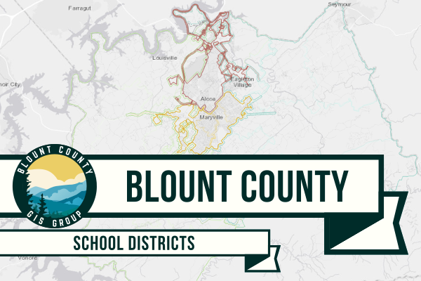
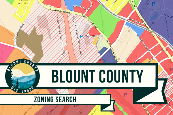
Explore one of our many maps to answer your questions about Blount County.
Mapping and spatial solutions to meet your needs.
If you have any questions regarding geospatial data within Blount County, feel free to contact us any time.